Gujarat Land Records Go Local: Services Move to Taluka Level
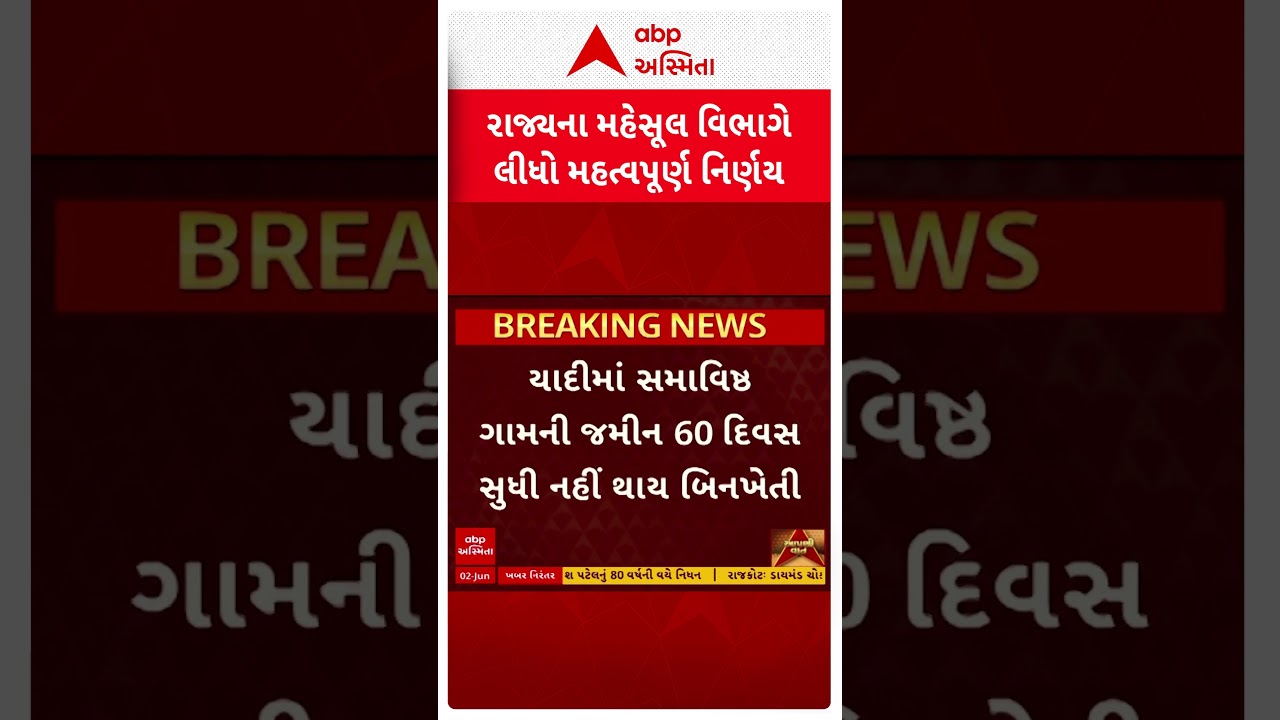
A short Gujarati news clip headlined simply as "the state Revenue Department has taken an important decision" is racking up views — and for once the boring-sounding bureaucratic line hides something that genuinely touches lakhs of households. The decision: Gujarat is pushing its Land Record Inspector machinery down from the district level to the taluka level, so that the people who actually need their land measured, demarcated or partitioned no longer have to travel to a far-off district headquarters to get it done.
It is the kind of administrative reshuffle that rarely trends. The reason this one is spreading is that almost every rural family in Gujarat has, at some point, lost days chasing a boundary measurement, a partition survey or a correction in their land map — and this promises to move that counter closer to home.
What the decision actually does
According to the Revenue Department resolution at the centre of the clip, 138 Land Record Inspector (Class-2) posts are being decentralised from the district to the taluka level. On top of that, a further 177 newly created inspector posts are being deployed across the state, zonal and taluka tiers to strengthen the system.
The move comes through the office of the Settlement Commissioner and Director of Land Records, the wing that runs Gujarat's survey-and-measurement apparatus. The stated aim, in plain terms, is faster and more local service: rural and small-town residents should be able to get land-record work done near where they live, rather than making repeated trips to the district seat.
In short, the data about your land is not changing. What is changing is where the officer who works on the ground sits — and that distance is exactly what has historically made the system painful.
Who is a Land Record Inspector, and why it matters
This is the part most viewers don't fully appreciate. A Land Record Inspector is not the clerk who hands you a printout of your 7/12. They are the technical staff behind the records — the people who go to the field and measure.
Their typical work includes:
- Land measurement and survey of individual plots
- Demarcation — physically fixing the boundary of a survey number
- Partition (hissa) surveys when family land is split among heirs
- Updating map and area records that feed into your land documents
- Resolving the measurement side of boundary disputes
These are precisely the tasks that cause the most friction in rural Gujarat. A delayed demarcation can stall a sale, freeze a loan against land, or let a neighbour's encroachment harden into a dispute. When the only officer authorised to do this sits two hours away and serves dozens of villages, the backlog and the bribery pressure both grow. Bringing that officer to the taluka is meant to shorten the queue and the journey at once.
Why it is blowing up online
Part of the virality is simply emotional resonance. Land is the single biggest asset most rural Gujarati families own, and dealing with the revenue machinery is a near-universal grievance. A headline promising that services will now be available "near your home" lands hard.
The other part is timing. This is not an isolated announcement — it slots into a run of 2026 land reforms in Gujarat that people have been tracking:
- The Gujarat Land Revenue (Amendment) Rules, 2026, in force from April 1, which tightened objection windows — a 7-day fast track for higher-risk mutations versus the standard 30-day window — and allowed notices to be served by email.
- A statewide push on land demarcation committees under district Collectors to standardise how measurement-correction applications are handled.
- A broader effort to consolidate Gujarat's tangle of revenue laws into a cleaner framework.
- A Revenue Department budget allocation running into several thousand crore rupees aimed at digitising and speeding up land administration.
Seen together, the taluka-level posting reads less like a one-off and more like the field-staff piece of a larger machine the government is trying to rebuild.
What changes for an ordinary citizen
If the rollout works as described, the practical difference is about distance and turnaround. A farmer who wants a plot measured before selling it, an heir who needs a partition survey, or a homeowner contesting a boundary should be able to file and follow up at the taluka headquarters instead of the district office.
That matters most for the people with the least slack — daily-wage earners and small farmers for whom a lost day and a bus fare to the district town are real costs. Cutting the travel can also, in theory, reduce the leverage middlemen hold when access is scarce.
A few caveats are worth stating plainly. Moving a post on paper is not the same as a staffed, functioning desk. The real test will be how fast each taluka is actually filled, whether software and survey equipment follow the officers, and whether turnaround times drop in practice. None of that is guaranteed by a resolution alone, and citizens should judge it by service speed over the coming months, not by the announcement.
The bigger picture: from district desks to doorstep
Gujarat has spent years digitising land records — online 7/12 extracts, e-mutation, and digital encumbrance entries are now routine. But digitisation only solves the paperwork that can be done from a screen. The physical, on-ground work — going out and measuring the land — still needs a human officer within reach. That has remained the stubborn bottleneck.
This decision is essentially an attempt to fix the last-mile gap that software cannot. By relocating survey staff to the taluka, the state is trying to match its digital front-end with a physical presence on the ground. It mirrors a wider governance trend across India: decentralising delivery so services reach the citizen rather than forcing the citizen to chase the service.
It is also, quietly, a staffing story. Creating new inspector posts and spreading them across tiers signals that the government has accepted understaffing was part of the problem — that you cannot promise speed with too few officers covering too much ground.
What happens next
The immediate questions are operational. Filling 138 relocated and 177 new posts takes recruitment, training and equipment, and the benefit will reach villages unevenly as some talukas staff up faster than others. Watch for whether the Revenue Department publishes any service-time targets or grievance routes, and whether the demarcation committees and the new mutation timelines start clearing backlogs in a visible way.
For now, the takeaway for readers is simple: this is a genuinely useful move on paper, aimed at one of the most felt frustrations in rural Gujarat. Whether the viral clip's optimism is justified will be answered not in Gandhinagar, but at the taluka counter — by how quickly the next boundary actually gets measured.
Until then, anyone with pending land-measurement or partition work should keep an eye on their taluka office in the coming weeks, since that is where this decision is meant to show up first.